YOLOv5 Oil Storage object detection
The following example shows how to use the YOLOv5 model for object detection on satellite images.
Dataset
The example is based on the Airbus Oil Storage Detection dataset. It provides satellite images with 100 cm/px resolution. Annotation bounding boxes for the planes are provided.
YOLOv7
We built our pipeline based on the YOLOv5 repository and using the yolov5m config.
Converting to onnx
When model training is completed, export the model using the command below:
python3 export.py --weights best.pt --include onnx --imgsz 512 --simplify
Example inference
Run QGIS, next add Bing map using QuickMapServices plugin.

Then run our plugin and set parameters like in the screenshot below. You can find the pre-trained onnx model at examples/yolov5_oils_detection_bing_map/model_yolov5_m_oils_512_1c.onnx path. Push the Run button to start processing.

After a few seconds, the results are available:
stats

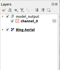
output layers
predicted mask

predicted mask with Bing map background
